Bay — Kangiyaq
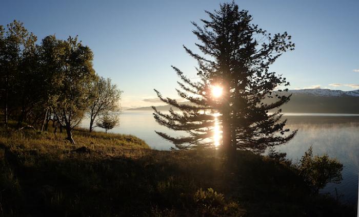
Kodiak’s many fjords, inlets, and estuaries reflect its glacial history when tongues of ice-carved valleys out of the island’s granite core. As the earth’s climate warmed twelve thousand years ago, the ice receded and rising sea levels filled these valleys with ocean water. This process created a coastline that is long in comparison to the archipelago’s landmass. Kodiak has more than 2,410 miles of shore and no interior location is more than 18 miles from the ocean. This complex coast provides habitat for an abundance of marine creatures as well as a sheltered environment for hunting and fishing.
The ways Alutiiq people used bay environments are preserved in the location and character of hundreds of past settlements. By locating and mapping these sites, archaeologists can reconstruct patterns of land use and the economic systems they represent. For example, we know that Kodiak’s earliest foragers made their camps in protected lagoons and mid-bay environments, harvesting resources from small camps and moving frequently. As the region’s population grew and there was more competition for resources, people began to build larger, more permanent settlements at bay mouths. These centrally located settlements allowed people to monitor many resources at once and to bring foods and raw materials to their families rather than moving their families to these resources. However, by the late prehistoric era, no coastal area was unused. Large settlements are even found in the most active outer coast, where the residents of villages watched for migrating whales.