Kiliuda Bay — Kilutaq
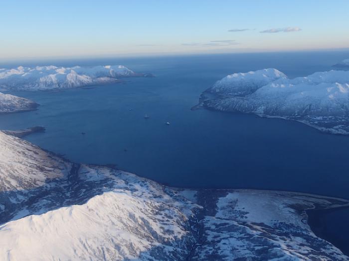
Kiliuda is a large bay on the eastern shore of Kodiak Island with a dramatic coastline. Kiliuda stretches about 25 km into the mountainous spine of Kodiak Island and the lands around its shore are steep. The head of Kiliuda is backed by some of the most precipitous peaks on Kodiak Island, reaching heights of over 4,400 ft in places. Small mountain glaciers are still present here, remnants of the large Pleistocene ice masses that once covered Kodiak.
Kiliuda Bay is known for its diverse and productive biological resources. There is a sill crossing the middle of the bay, from Coxcomb point to Pivot Point. This natural, geological feature divides Kiliuda into two distinct areas. The outer bay to the east of the sill has deep, exposed waters that are refreshed frequently by currents and tides. This area has kelp beds, marine fish, sea birds, and sea mammals. In contrast, inner bay waters are protected and shallow, with eel grass and marshes that provide abundant habitat for herring and waterfowl.
Today, the residents of Old Harbor hunt and fish in Kiliuda Bay, as their ancestors did. Archaeological sites illustrate that people lived in the bay for thousands of years, up until the mid-nineteenth century. In 1804 Russian naval officer Uri Lisianki sailed into Kiliuda. According to his map and journal, there were five Alutiiq communities in the bay at this time. However, Russian Orthodox Church records suggest that by 1820, only Kiliuda Village near Ermine Point was still occupied. This village persisted until about 1844. Following the smallpox epidemic of 1837-1838, the surviving residents of Kiliuda village resettled in Eagle Harbor on the southern shore of neighboring Ugak Bay.