Olga Bay — Uqtuk
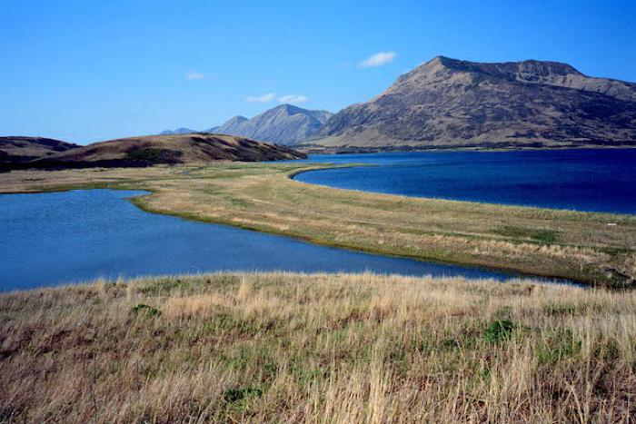
Most Kodiak bays taper from a wide mouth to a narrow head. Olga Bay, at the southern end of Kodiak Island, is the opposite. Here, a narrow channel connects this large body of water with the ocean. To enter Olga Bay, boats must pass through Moser Bay. At the head of Moser Bay lies the Olga Narrows, a two-kilometer stretch of shallow water leading into Olga Bay. At their slimmest point, the narrows are less than half a kilometer wide. This constriction limits tidal flow. Water can’t fully fill or empty Olga Bay by the time the tide turns again. As such, the bay has small tides. Fishermen report that the bay can feel like a large lake, although it is full of seals and salmon.
Olga Bay is particularly known for its salmon resources. Horse Marine Stream, Frazier River, Akalura River, and the Olga Lakes all drain into the bay and support substantial fish runs. The Olga Lakes are especially productive, with prime habitat for pink, red, and silver salmon. The annual red salmon run is the largest. An average of about 800,000 fish to the lakes in two distinct runs. The early run begins in late May and the late run in August. Late run fish continue to return well into December and are available into March.
The later run is a valuable source of fresh fish in winter. Akhiok Elder Nick Alokli remembers hiking a portage trail between Moser Bay and the east end of Upper Olga Lake to harvest these fish. This use is probably quite old. Archaeological studies show there are more than 60 ancestral settlements along the shores of the Olga Lakes, including camps at the far inland end of Upper Olga Lake.